
A few days in the Vosges-du-Nord
23 – 25 September 2019
Base: Hôtel Aux Trois Roses, 67290 La Petite-Pierre, France. Walking with Jonathan.
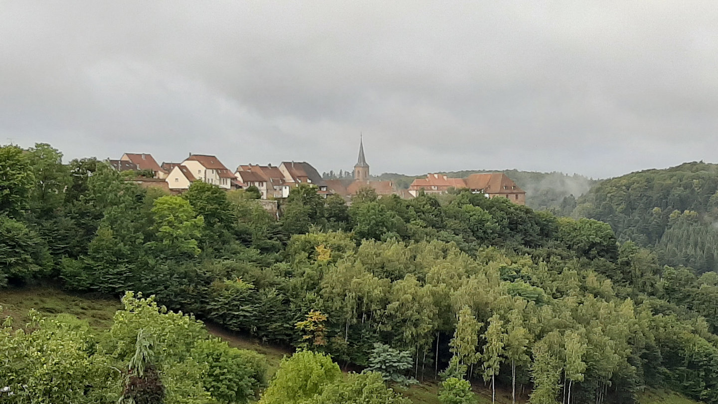
La Petite-Pierre hotel view
The old part of the village including the historically significant castle is on the hill above the main street. It’s a car-free zone. The hotels and (few) shops are in the more recent lower part.
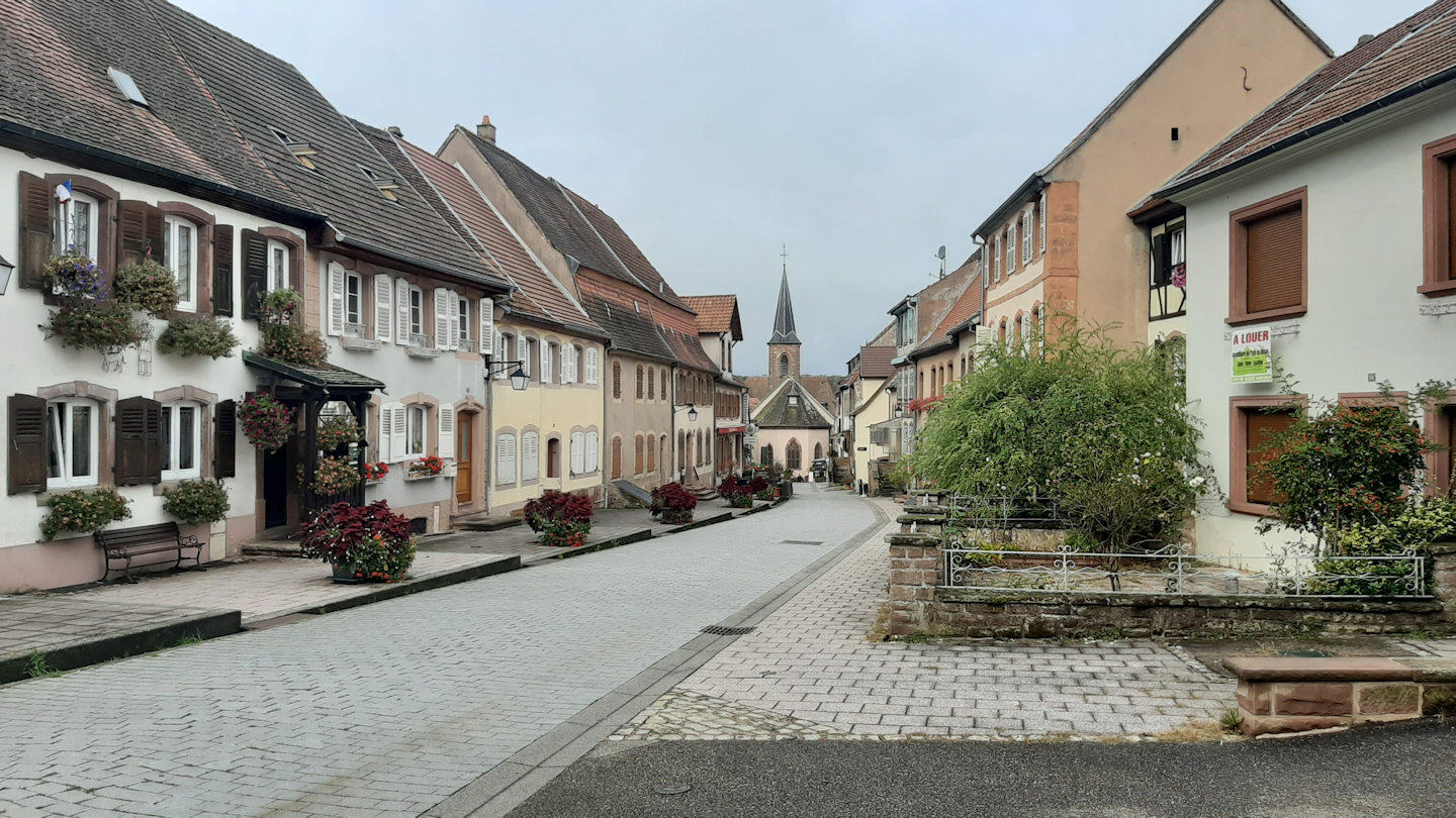
La Petite-Pierre old town
23 September – Erckartswiller Circular
We spent the morning exploring the village. The old part was a surprise. Disappointingly the castle at the end of the street beyond the church wasn’t open to visitors; there was major building work in progress. There is a large information board near the entrance which outlines the castle’s history, but it wasn’t clear if it is ever open to the public. Its main purpose now is as the HQ of the regional forestry service.
The tourist information office is also in the upper part of the village. We bought the local 1:25,000 TOP25 IGN map (3714ET). We later found that the small general store in the main village also sells these and other maps.
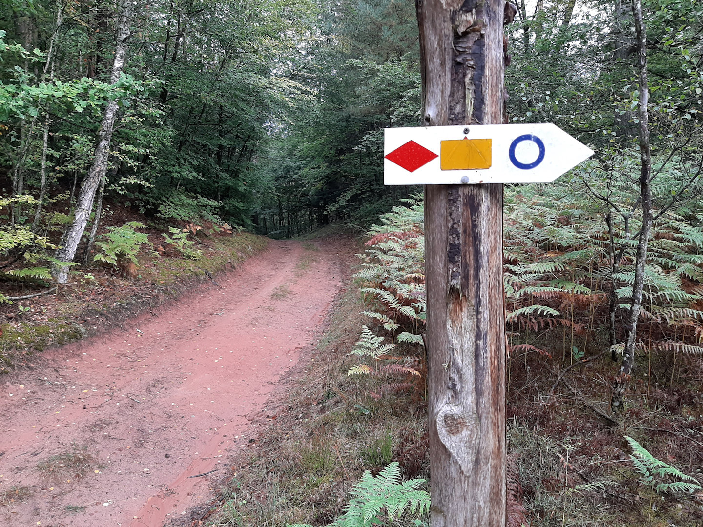
After buying a sandwich from the village bakery Chez Sylvain we set off for a short day’s walk to the neighbouring village of Erckartswiller. Like most tracks in the Vosges our chosen route was well waymarked.
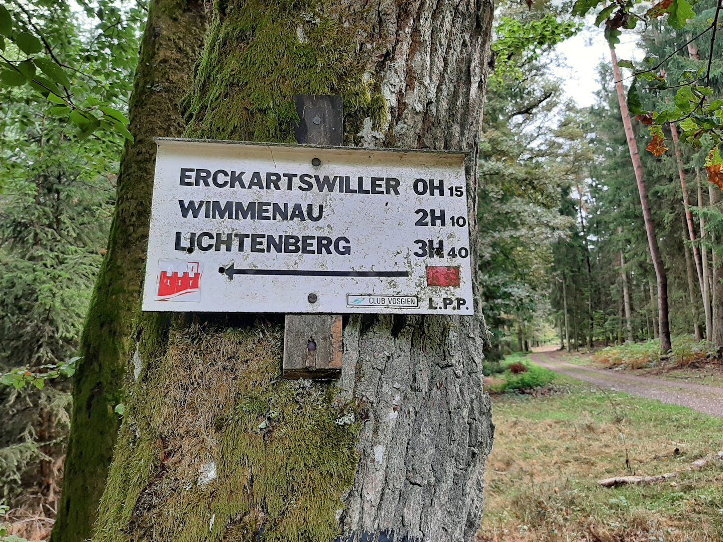
Vosges waymarks
24 September – Zittersheim, Circuit des 12 Sources
Zittersheim is a village a short drive from la Petite-Pierre. There’s a parking area for a few cars with a shelter, an information board and a small, open, unattended library by the church. It’s the recommended starting place for a circular walk listed on a leaflet of walks we picked up the previous day in the tourist office. The theme of the walk is to visit twelve sources (springs) in the surrounding area. The information board had a copy of a schematic map illustrating the route (not suitable for navigation!) which is also on the internet and which I have saved here for downloading.
The whole route is waymarked Vosges-style with one symbol throughout – a blue anneau (open circle or ring), but a word of warning: the route can be walked in either direction, so waymarks are often only visible in your direction of travel. If you turn round you’ll see more blue rings which might seem to take you the other way. Also some of the sources are down side paths so you have to re-trace your track for a short distance before continuing on the main route. We only missed the route once, soon after leaving Zittersheim after source 4.
Although much of the walk is in forest the trees are not densely packed and there is plenty of light. There are several sections too where you walk through open country, so the walk is varied and interesting. Not all the sources are impressive – at least not when we were there; several were dry or just trickles of water. Note too that we found (September 2019) that source 2 was unlabelled and fenced off while access improvements take place. It’s a damp patch at the bottom of the village playing field which we originally missed and only located when we went back to track it down at the end of the walk. To follow the route to the final source, number 12, we had to cross an electric fence. The waymarks were not clear but it was the farmer at fault, deliberately or otherwise, not our navigation!
In the photos below I’ve included one telling the story of American pilot Samuel Dougherty, who crashed outside Zittersheim in 1944. At great risk the villagers gave him a proper burial in the village graveyard. After the war the church was destroyed in a fire and Dougherty’s parents gave a substantial donation to pay for the rebuilding of the church. There’s a memorial plaque in the church porch. The memorial in the photo is in the forest, consisting of a stone and some pieces of wreckage from Dougherty’s plane. I was uncomfortable to see that someone had put a geocache inside the plane wreckage; I left it there, but it seemed disrespectful.
On a lighter note I’ve added without comment a picture of a notice in the shelter by the church.
25 September – Wingen-sur-Moder to The 12 Apostles Stone (Pierre des 12 Apôtres)
Wingen-sur-Moder is more a small town than a village. We parked at the railway station (trains to Strasbourg; this is commuter territory). The tourist office leaflet outlined a circular route to a local landmark, the “Twelve Apostles Stone”, but unlike yesterday’s walk this combined several different Vosgien waymaked trails. We decided to make our own route.
Our chosen route was almost entirely in forest, but like before the forest isn’t uniform; beech and pine dominate, but oak and other species give variety.
The stone itself is set in an open area at a road junction. Its name comes from the twelve figures (three on each of four sides) carved at the top. A nearby information board does its best, but it seems fairly clear that no-one knows for sure what it is and why it’s there. To us the most likely explanation is that it was a boundary marker, as it stands just a few metres from the border between Alsace and Lorraine.
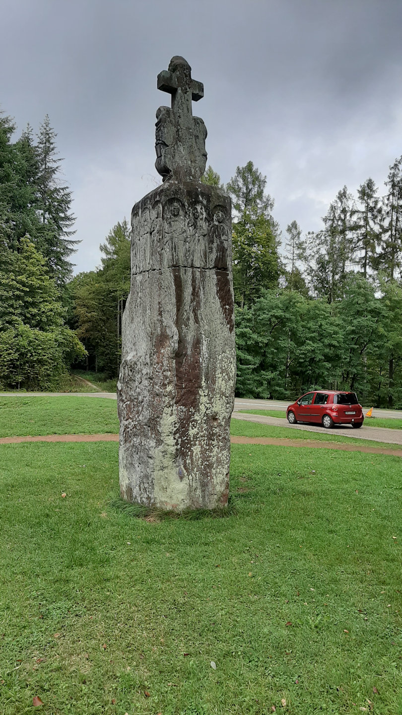
12 apostles stone
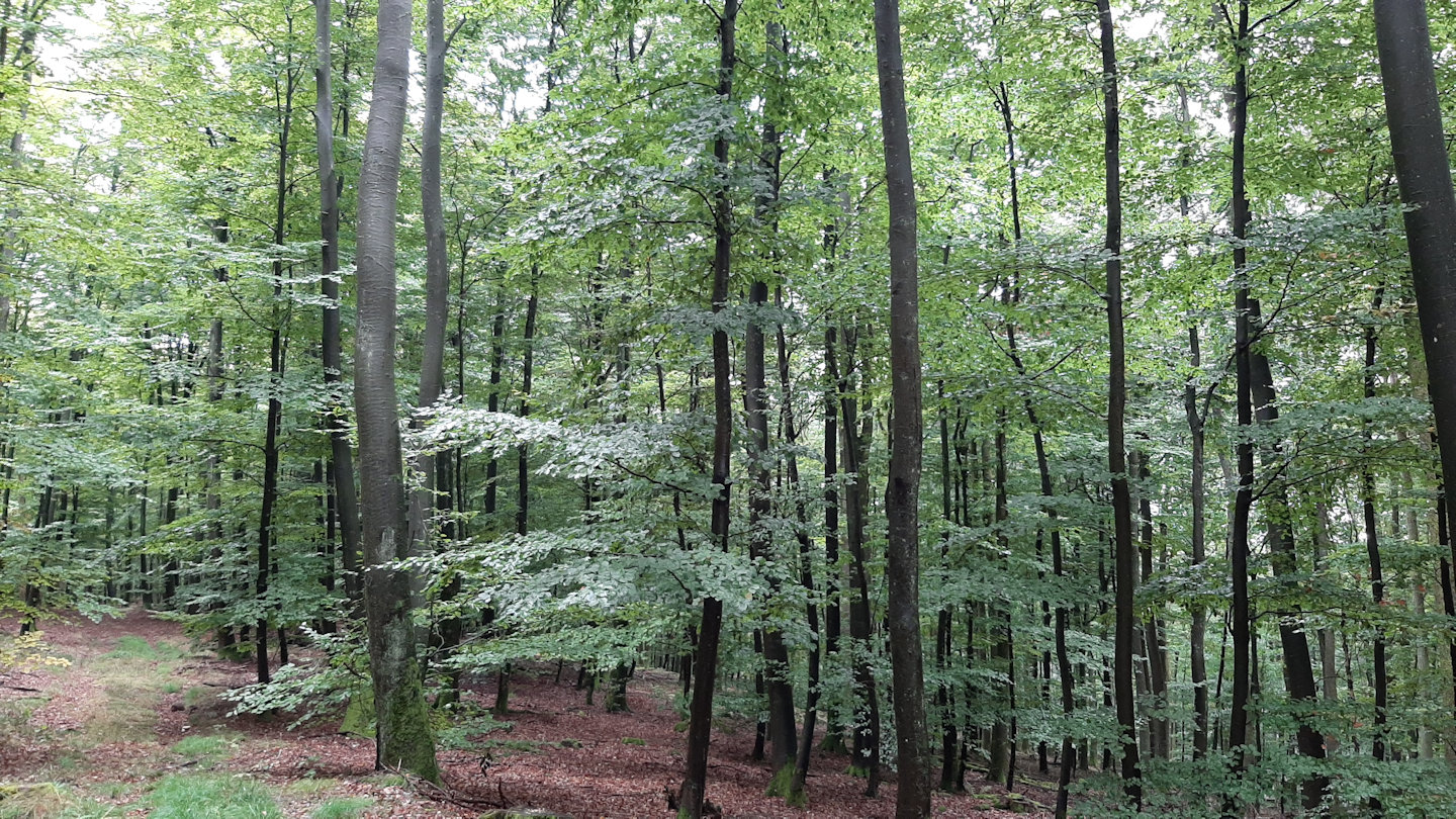
beech forest
Returning by a different route we had the only rain shower of our three days walking. We also missed our intended track, which was a salutary lesson of the value of a good map and a phone with a GPS app.
Back in Wingen we were disappointed that even in this larger place we didn’t find anywhere to have a coffee at the end of the walk.
Review – Vosges-du-Nord and local maps
The Vosges-du-Nord consists mostly of low, forested hills with open agricultural valleys penetrating into the interior. It’s pleasant, easy walking; there’s plenty of up-and-down but the only steep gradients we found were quite short. The general terrain is varied enough not to be boring, but note that our base of la Petite-Pierre was exceptional in that it had some services (bakery, shop, hotels) and at least one bar (seasonal opening – closed while we were there). The other villages we visited or passed through had none of these. To find anything more you would have to go to Ingwiller.
Back in 2005 I posted a short report on maps and waymarks in the Vosges. I was glad to see the comprehensive waymarking system pioneered by the Club Vosgien was still alive and well. However, enquiries about the Club’s own maps drew blank looks, and despite looking in several outlets in larger places like Ingwiller and Haguenau I didn’t find any. However, the IGN TOP25 map we bought did show some of the Vosgien waymarks, but by no means all. My guess is that it has become too expensive for the Club to publish its own maps; this seems to be borne out by the maps on sale on the Club’s own website, but the limited coverage on the IGN series is a poor second best.
waymarks
Comments
A few days in the Vosges-du-Nord — No Comments
HTML tags allowed in your comment: <a href="" title=""> <abbr title=""> <acronym title=""> <b> <blockquote cite=""> <cite> <code> <del datetime=""> <em> <i> <q cite=""> <s> <strike> <strong>