Lake District Western Fells – part 1
May 2021
Staying at The Shepherd’s Arms, Ennerdale Bridge.
Day 1 – 25 May
(am) Lank Rigg, Crag Fell, Grike; (pm) Hen Comb
Route (am): From bend on Cold Fell Road S of Ennerdale Bridge (NY066130), track then path to col between Whoap & Lank Rigg; Lank Rigg; fence corner at NY102135; track & path to Crag Fell; path to Grike; old mine track to Cold Fell Road; road to start point.
Weather(am): Cloud/mist on hills above about 450m. Strong north-westerly wind on tops and exposed ground. Drizzle.
An easy walk on tracks and paths. Paths are clear on the ground even if not shown on OS maps.
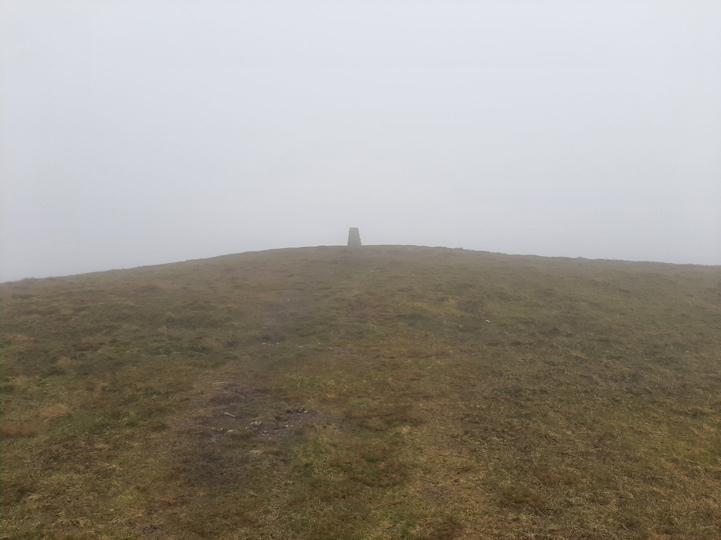
Lank Rigg summit comes into view.
Route (pm): From Bowness (Ennerdale) road S of Whins (NY100165); Floutern Pass track past Floutern Cop then path to Hen Comb. Return same route.
Weather (pm): Mostly bright and clear.
There’s a small space for parking at the roadside S of Whins. DO NOT try to park at Whins itself – local information says the farmer doesn’t like it. For the same reason, keep to the public bridleway until you reach open access land.
Floutern Pass has a reputation for being boggy, but from this side is wasn’t particularly bad – just a bit squelchy in places.
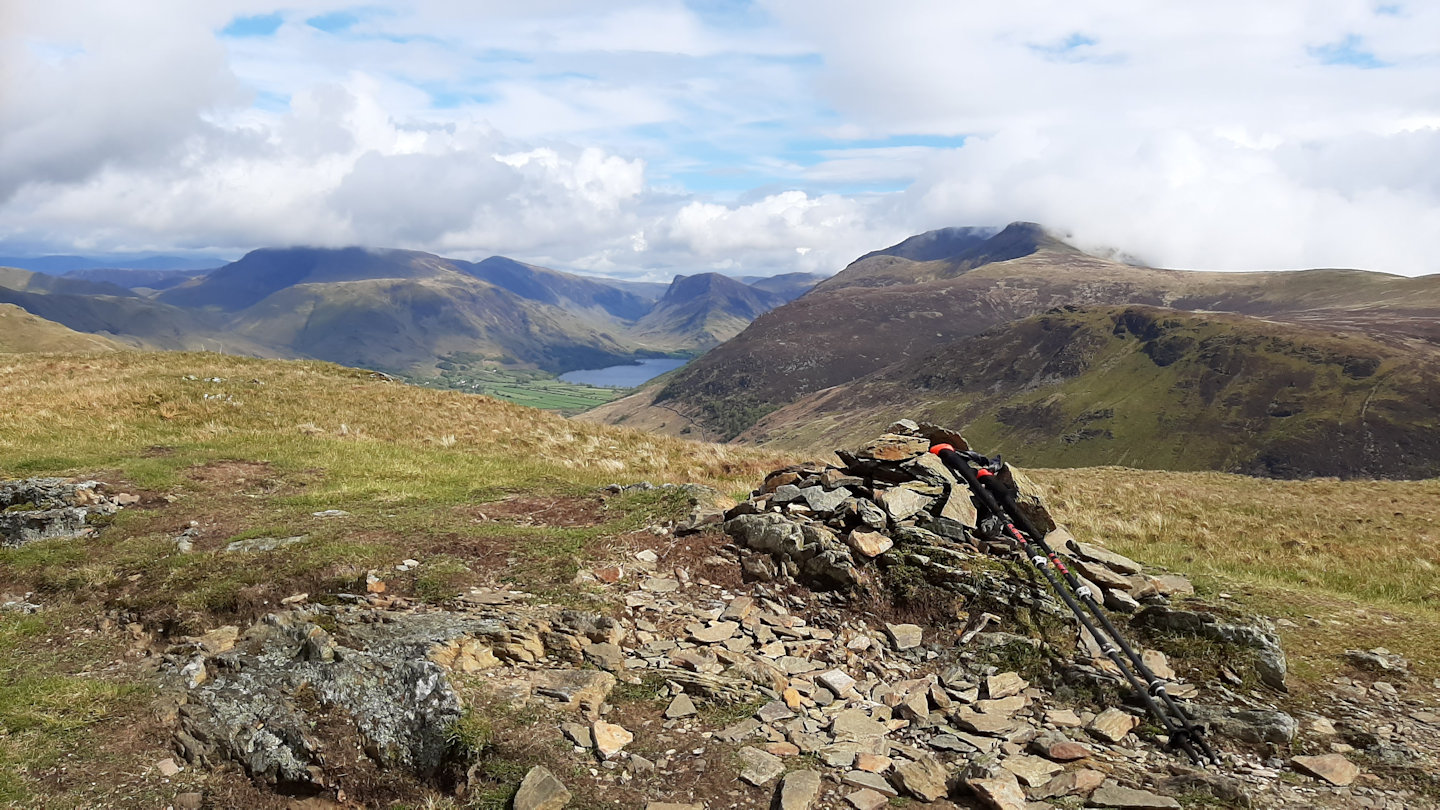
Hen Comb summit; Buttermere in the distance
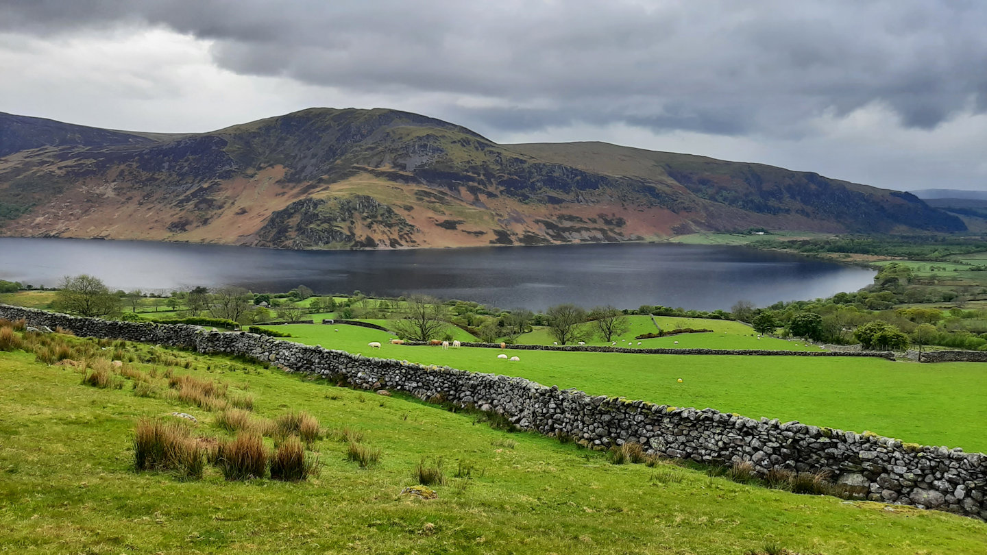
Ennerdale Water from the Floutern Pass track
Day 2 – 26 May
Burnbank Fell, Blake Fell, Gavel Fell
Route: From Bridleway end N of Lamplugh (NY105225); path on right before high point of track leads to “pile of stones” and Burnbank Fell summit. Path along ridge to Blake and Gavel Fells. Retrace route to return.
Weather: Fine and clear.
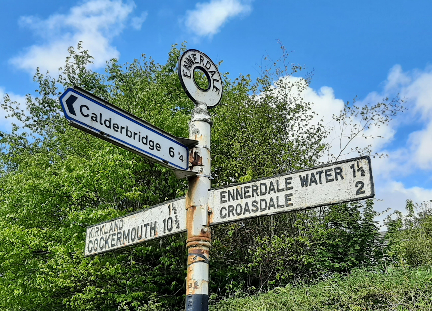
The day didn’t start well. I had planned to walk these three south to north starting from the parking at Felldyke and using the only path through the forestry plantation at the far end of Cogra Moss reservoir that gives access to the open fells. Twenty minutes in I found the path – and this sign.
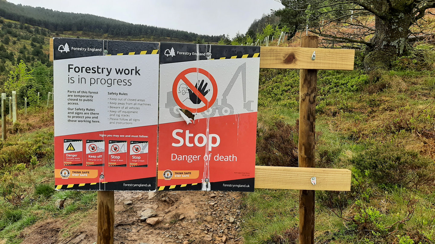
Not a good start.
I thought of ignoring it, but further thought about the consequences of turning an ankle on a tree root and needing help, or being accosted by a forestry worker on a quad bike led me to turn round and walk back to the car.
The second attempt was to start from Lamplugh, where a bridleway leaves the road and then a farm track heads to the open fellside. At least, that’s how things were in Wainwright’s day. Landowners seem to be less tolerant of hill-goers these days: this was at the junction with the farm track. There was also a big sign on a gate – “NO ACCESS TO OPEN FELL” daubed in paint on a board.
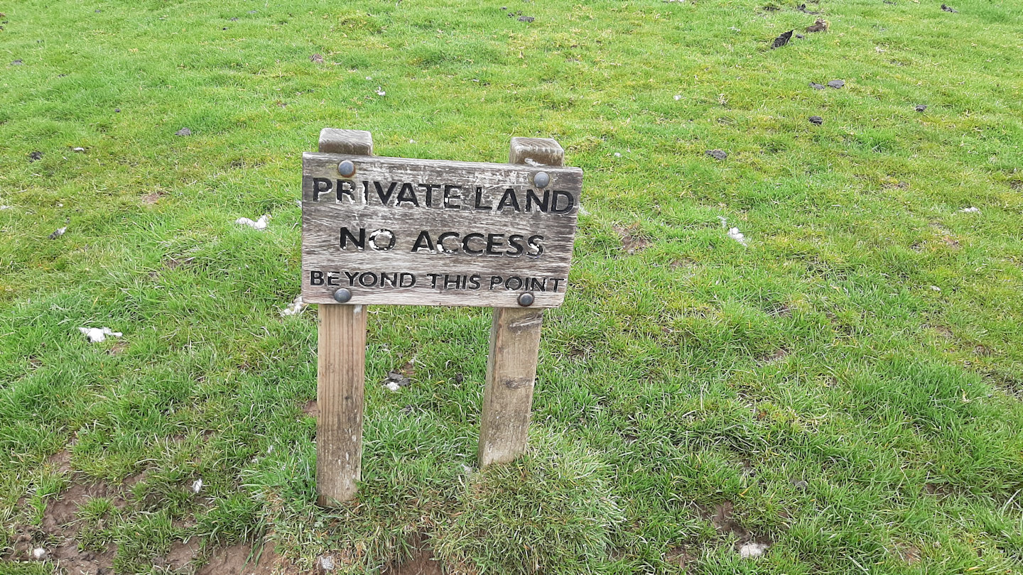
AW wouldn’t approve.
Driving still further north and Plan C came good. There were more than twenty cars parked on the roadside at the start of the bridleway that leads over to Loweswater and the Kirkstile Inn. I guessed others had the same issues as me.
Once properly on my way the walk and climb up to Burnbank Fell was straightforward. The summit itself is set back from the steeper ground; the best views of Loweswater are from the “Pile of Stones” as the summit plateau is reached.
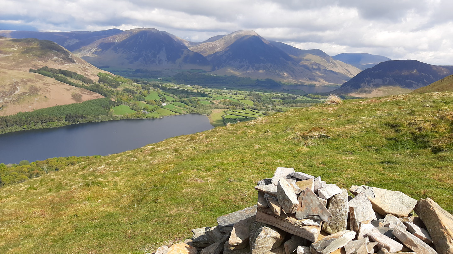
Loweswater from Burnbank Fell
The summit itself is unremarkable, dominated by the summit ridge fence berated by Wainwright. Following the ridge and the fence to Blake Fell and Gavel Fell was a simple high-level stroll.
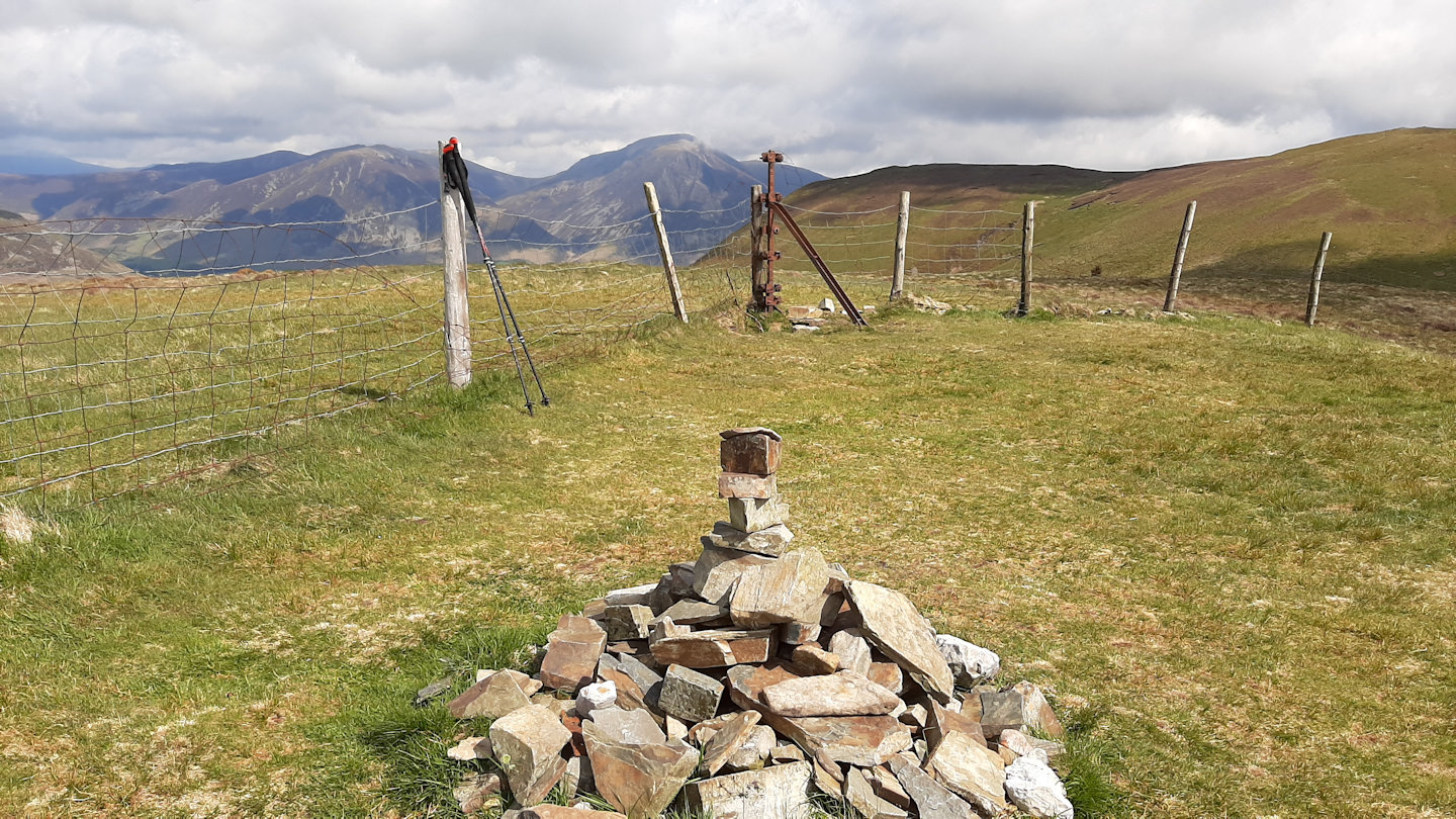
Burnbank Fell summit cairn and fence.
Comments
Lake District Western Fells – part 1 — No Comments
HTML tags allowed in your comment: <a href="" title=""> <abbr title=""> <acronym title=""> <b> <blockquote cite=""> <cite> <code> <del datetime=""> <em> <i> <q cite=""> <s> <strike> <strong>