South West Coast Path – Day 42
Plymouth (Mount Batten) – Yealm ferry
22 April 2026
Distance on Coast Path: 11.8km; ascent: 194m
Total distance: 14.1km; ascent: 285m
Walking time: 3h 30′
Total time: 4h 16′
Overnight: Self-catering, Plymouth
I was the only passenger on the 9.15 ferry from the Barbican to Mount Batten. It was another clear but windy day which turned warm later. While we were waiting to set off the Ferrymaster – a young man in his early twenties – commented on the small crowd of young people gathered on the quayside: he thought they must be a group of French school pupils. “They come over on school trips on Brittany Ferries, get a coach here from the terminal and hang around, then get the boat back to the terminal. We never did that sort of thing at my school”, he said regretfully. I asked what he was doing apart from driving the ferry: he said he was doing a marine engine maintenance course at college. I wished him luck.
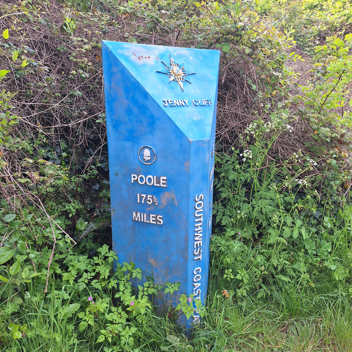
Getting closer, but still a way to go!
From the jetty at the other side I walked again the short distance to Mount Batten Point then set off along the next section of the Coast Path. After a short distance close to the shore the path rises to an open green sloping area dotted with park benches. This is Jenny Cliff, the last entry in the Plymouth Waterfront Walk guide book, because at the far side is the Plymouth City boundary, marked by the “Plymouth Doormat”, a wide concrete slab set in the ground across the path. It carries a message facing anyone approaching from outside the city — “Welcome to Plymouth. Please wipe your feet”.
Emerging from woodland the path follows the cliff to pass below Staddon Fort, a WW1 and WW2 military base now decommissioned and privately owned. Then a high security fence and notices declaring ‘No Public Access’ and warnings against touching any unexploded objects appear as you approach Staddon Point and Fort Bovisand. This Fort is still actively used by the military. I stopped at a bridge across what was clearly a man-made cutting about 5 metres wide which ran in a straight line up the sloping cliff side: I could just make out what I thought were low windows in an ivy-covered wall at the top. Once again a chatty dog-walker told me more about it. It was, he said, a firing range; what I thought were windows at the top were actually slits for rifles. He told me the whole cliff area around the Fort is used by Special Forces for training in techniques like cliff assaults by stealth. The tattoos on his arms made me inclined to believe him.
Below, the harbour and buildings of Fort Bovisand were clearly still in active use, though quiet today with only a lorry moving slowly on a dirt road.
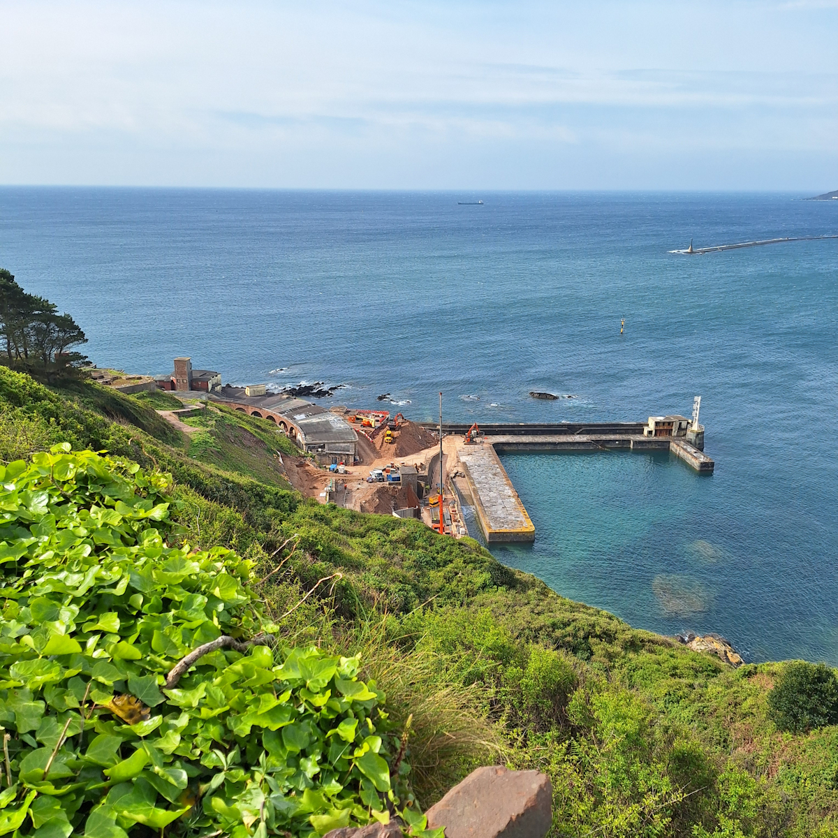
Fort Bovisand
Before Bovisand Beach the Cliff Edge Café came as a welcome chance for a break and an early coffee. There were several other customers sitting outside – the café is close to a car park at the end of a road. It had a good feel to it – friendly service and several welcoming signs.
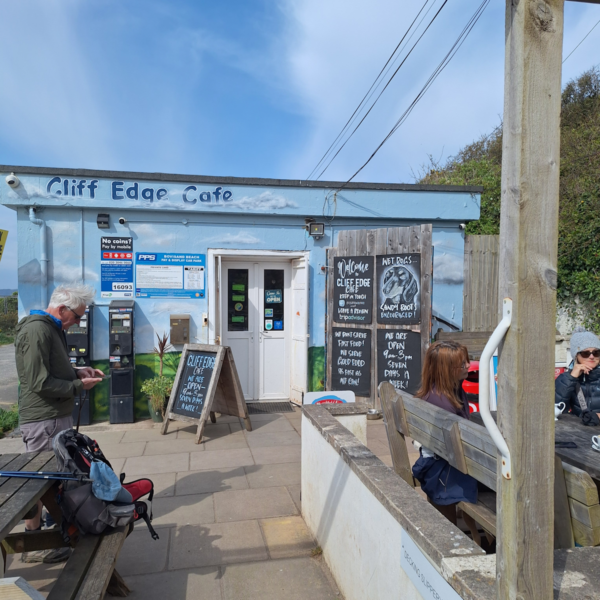
Cliff Edge Café, Bovisand
The Path dropped down to the beach and up the other side to bring me to Bovisand Holiday Park on what I decided must be a private road. The Holiday Park seemed a step up from the familiar rows of static caravans – landscaped enough to hide much of the site, and after I passed through the second automatic road barrier a row of not unattractive single-storey holiday bungalows ran down towards the coast. Signs hinted that those in the know called the site “Bovi”.
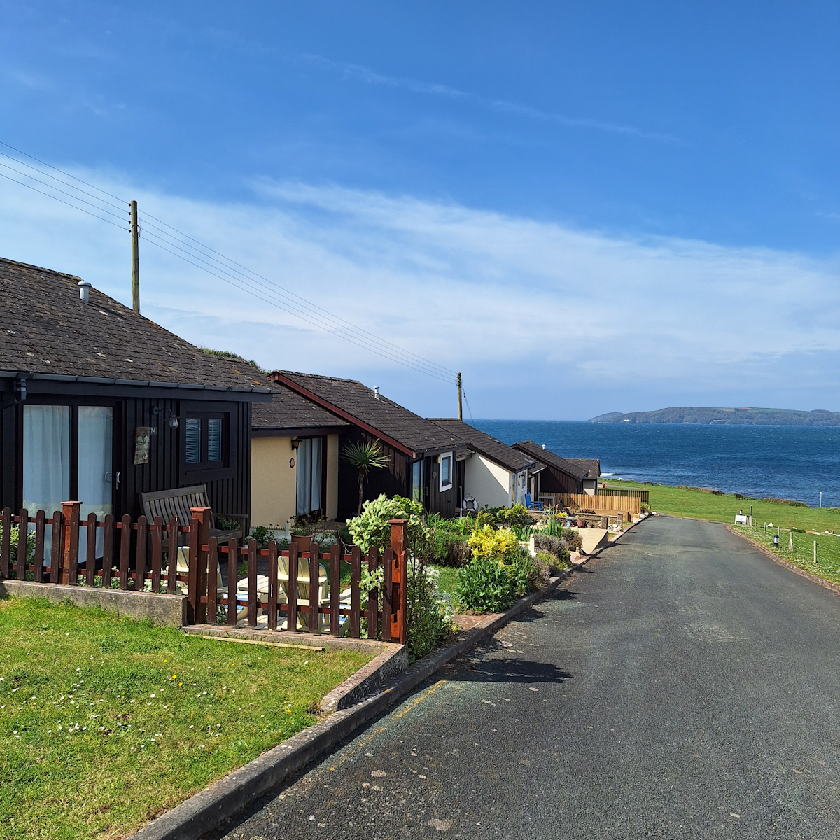
Bovisand holiday chalets
From there onwards the walk was much of the same – low cliffs, coves, bays, headlands – all very pleasant on a day that was warm and clear, if still quite windy. I rounded Wembury Point and soon reached the point where the road from Wembury village reaches the coast. The village itself was out of sight; it is however the nearest village to the ferry across the River Yealm which was my objective for the day. A short climb back onto the cliffs was followed by a level and recently-surfaced path which I followed for about two kilometres to a path junction where I took a rough driveable track which went steeply down to a dead end at a small jetty on the Yealm estuary.
The ferry here – which I was not planning to take – is one which is summoned by setting a big sign at the jetty. It operates a triangular route linking this point (and thus Wembury village) with the villages of Newton Ferrers and Noss Mayo, both on the other side of the Yealm but in turn separated from each other on the northern and southern sides of a tributary creek. The Coast Path starts again at Noss Mayo, which will be my starting point on my next visit.
I turned back up the steep track to the path junction, then took footpaths leading to the edge of Wembury village where I could wait for the bus back to Plymouth.
Comments
South West Coast Path – Day 42 — No Comments
HTML tags allowed in your comment: <a href="" title=""> <abbr title=""> <acronym title=""> <b> <blockquote cite=""> <cite> <code> <del datetime=""> <em> <i> <q cite=""> <s> <strike> <strong>