South West Coast Path – Day 19
Newquay to Perranporth
10 May 2024
Distance on Coast Path: 14.2km; ascent: 184m
Total distance: 16.3km; ascent: 194m
Walking time: 3h 51′
Total time: 6h 06′
Overnight: AirBnB on Ramoth Way, Perranporth
To leave Newquay I’d had to look at the tide tables for the first time. The town is bounded to the south by an estuary called The Gannel. Short of swimming there are three ways to cross it. The longest option is the main road bridge more than two miles inland which adds four and a half miles (7.2km) to the day’s walking. A shorter option is a footbridge at Trenance: this adds 3 miles (4.8km). It is usually passable but may be flooded at the highest tides – it would have been usable today. The shortest option is the official route and a novelty: a tidal footbridge at Penpol. A search on Google showed that it’s not so much a bridge as a boardwalk – the SWCP Guidebook says it can be used 3-4 hours either side of low water. [Note: there may be a fourth option, a ferry run by the Fern Pit Café, but the café seems to be struggling to keep going and I was told the ferry hadn’t been operating since last year.]
When planning today’s walk I didn’t know where I would be staying in Newquay so I’d allowed for walking round Towan Head, along Fistral beach and round Pentire Point which gave me an estimated arrival time at the Penpol footbridge of 1040. This was on the edge of the 3-4 hour window, and looked to be a good option. As it turned out I was staying only about a kilometre from the footbridge so when I left my B&B after a late breakfast I walked straight there, arriving just before 10 o’clock. Markers showed where the footbridge was, completely submerged. To take the higher footbridge would have added at least an hour to my walking day, so I chose to wait. As the tide fell a few other people – dog walkers – turned up, and as the boardwalk began to emerge a few opted for a barefoot crossing. I waited, and around my original estimated time I was able to paddle across wearing my boots and keeping my feet dry.
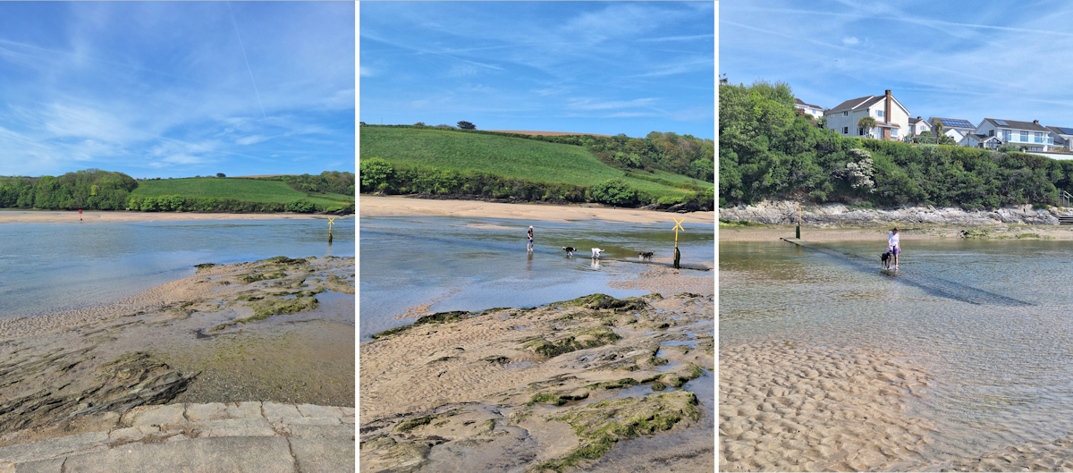
Tidal crossing on the Gannel at 9.59, 10.31 and 10.35 am
Leaving Newquay marked another terrain change. No more Big Slate: now it was Big Sand. As far as St Ives in three days’ time I would be travelling through sand dunes, along or above big beaches and over wide open grassy headlands with no trees. The colour of the cliffs had changed from black to grey.
It was a pleasant sunny day all day with a light breeze and not too hot. Leaving Newquay I’d earmarked the village of Holywell as a potential lunch stop, passing the irresistibly-named Porth Joke along the way. It’s apparently known locally as Polly Joke, but I guess you have to be local to know why.
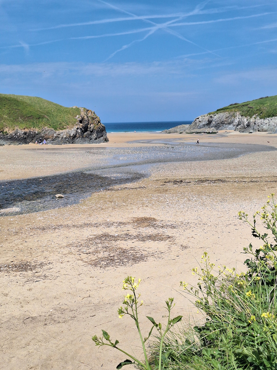
Porth Joke. (I still don’t get it.)
Holywell Beach
The Path crosses Holywell Beach to reach the village – the first sand walking of the day. The pub had a large outside seating area mostly in the full sun but I found a table in a covered deck area where I could sit and enjoy a plate of cheesy chips and a ginger beer. The only person from the Gannel crossing who wasn’t a dog walker was there too – we spoke briefly and saw each other occasionally over the next few days.
Between Holywell Beach and Perran Beach the Path passes an old army camp. The first building you come to is a dark angular brutalist structure which looks as if it might still be functional, whatever that function might be. The rest consists of rows of old-style huts and a few covered shafts. It’s all securely fenced off.
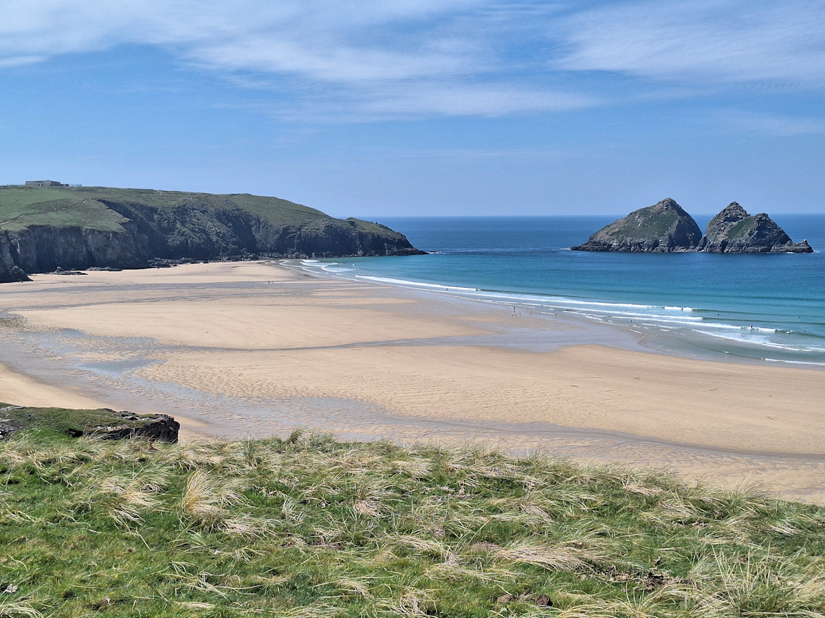
The huge expanse of Perran Beach came into sight as I left the camp and turned Ligger Point. From here I could see in the distance the ugly scar down the dunes where the Path goes down to the beach on a straight vehicle track. Once on the beach there were more than three kilometres of beach walking before reaching Perranporth village. There weren’t many people around at this end of the sand, though there was one person – a completely naked man with a black plastic sack and a litter-picker poking around in the rocks at the foot of the dunes.
It was a long trudge along the beach, vaguely deviating from a straight line as I tried to find the firmest sand. I took two photos looking along the beach twenty minutes’ walking apart (not posted here); it was hard to tell the difference. The tide was well out so I could stay on the beach all the way to Perranporth without having to go up and over the low outcrop of Cotty’s Point which cuts the beach at high tide.
Perranporth iteslf was small but busy. It has shops, cafés and other facilities. I found my AirBnB a little way out of the centre and got washed and changed before walking back to the centre and the beach. I’d already decided I would have a glass of wine and a meal at The Summerhouse where I could sit on their terrace overlooking the harbour and enjoy watching the sunset. The fish tacos were good, and despite the beach-bashing it had been a pleasant day and a nice way to end it.
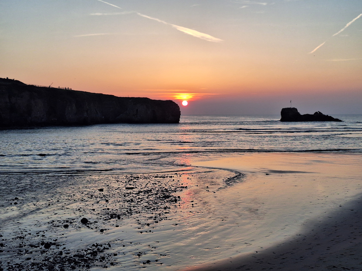
Perranporth sunset from The Summerhouse terrace.
Comments
South West Coast Path – Day 19 — No Comments
HTML tags allowed in your comment: <a href="" title=""> <abbr title=""> <acronym title=""> <b> <blockquote cite=""> <cite> <code> <del datetime=""> <em> <i> <q cite=""> <s> <strike> <strong>